Remote Sensing & GIS | |||
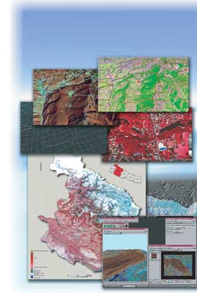
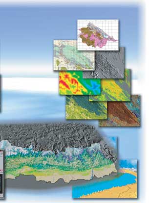
Remote sensing and GIS (Geographic Information System) are very useful technologies for the monitoring of forest resources and the environment. The information that is acquired form air or space is processed, and is combined with other information. The valuable information for forest management is created by using these technologies. JAFTA is introducing new technologies to the study of forest. | |||
| Project | |||
| The Forest Dynamism Study Project for Eastern Part of
Asia 2001-2005 Geographic Analysis Project for Forest Monitoring 2002-2006 Information System Development Project for the Management of Tropical Forest ---Indonesia, Thailand, Cambodia, Vietnam, Philippines, Myanmar, Bhutan and Nepal, 1990-2000 The Study on Development of Technology for Rehabilitation of Devastated Tropical Forest ---Indonesia, Vietnam, and Philippines, 1994-1999 | |||
| |||